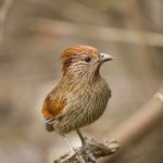
Jomolhari Trek is longer than the Jomolhari Loop and the most popular trekking routes in Bhutan. With altitude differences of 2,500m and nearly 5,000m it offers a wide range of landscapes, fauna and flora. The highlight of this trek is the spectacular view of Mount Jomolhari from Jomolhari Basecamp (Jangothang). This trek is excellent choice for a moderate high altitude trek.
| Max Elevation | 5,000 m |
| Min Elevation | 2,500 m |
| Difficulty | Medium |
| Season | March, April, May, June, September, October, November |
| No. of Days | 11 Days |
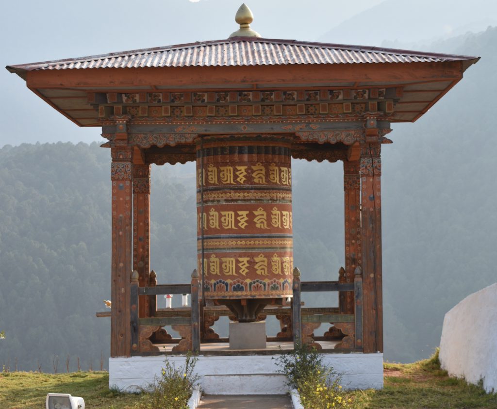
Arriving in Paro and do some sightseeing. You will visit National Museum, housed in the Ta Dzong (watchtower) has interesting collection of artefacts provide a wonderful introduction to the rich culture and heritage of the Kingdom. Next will be Paro Dzong, is a fine example of Bhutanese historic architecture and this fortress was built in 1645. Now a day the fortress is divided into two sections, one for religious sector and another for administration.
Hike to Taktshang monastery as good acclimatisation for the trek. Taktshang Monastery (Tiger Nest) is located at top of about 900 meter cliff in Paro. It takes slightly more than an hour and a half to reach the monastery on foot from the nearest road point. Taktshang or the Tigers lair as the monastery is widely regarded is one of the most important in Bhutan.
Drive to the end of the motor road at DrukgyelDzong to begin the trek. While you wait for the horses to load up you will have time to take a look at the ruined Dzong. Known as the fortress of victory, it was constructed to commemorate the victory over Tibetan invaders in 1644 and destroyed by a butter lamp fire in 1951. Today’s trail follows the river uphill through a narrow agricultural valley as far as the border army camp at about 2800 m. There is now a feeder road as far as the army check post at Gunitsawa about half an hour before camp so if you prefer you can take a day hike near Paro for acclimatisation and then drive towards camp at Shana in the late afternoon. (17 km, 6 hours)
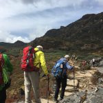
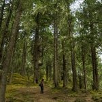
The path from Shana ascends through the river valley with pine and rhododendron forests. On the way, there is a fantastic view of Mount Jomolhari. We will camp in a meadow with a stone shelter at an altitude of about 3860 m. (19 km, 6 to 7 hours)
The trail continues to follow the river and passes a small army post where the valley begins to widen again. Views of high ridges and snow-capped peaks can be seen on all sides. At this altitude (about 4040 m) it is possible to see yaks and yak herders. Camp is beneath a ruined fortress at the base of Mount Jomolhari. (19 kms, 6 hours)
It’s possible to walk to Tsophu (sacred lakes) or hike in various directions: towards Mount Jomolhari and its subsidiary to the west, Jichu Drake to the north and unclaimed summits and ridges to the east.
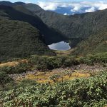
The trail climbs gradually to Nyili La Pass (4680 m). Broad yak pastures can be seen along the length of the route. If the weather is clear, there is an excellent view of LingshiDzong as we descend into the Lingshi basin. Tserim Kang and its descending glaciers can be seen at the north end of the valley. We camp in a stone shelter at 3915 m. (19 km, 7 to 8 hours)
A day’s excursion to Tsekha (Lahe), the base camp of Jichu Drake Mountain where it is possible to see blue sheep and musk deer. (Altitude about 4500 m) If you prefer, you can relax today, Explore the village and visit the school. Sadly Lingshi Dzong was badly damaged in a recent earthquake and it will only be possible to visit if renovations works are complete.
The trail ascends to the Yali La Pass (4820 m), from where Mount Jomolhari, Tserim Gang and Masa Gang can be seen on a clear day. We descend to our campsite which is situated at about 3815 m. (6 to 7 hours)
The path follows the Thimphu Chhu (river) and through forests with rhododendrons and waterfalls, before climbing to the ruins of Barshong Dzong. The camp is a stone shelter just below the ruined fortress. (Altitude 3685 m, 13 km, 5 hours)
Barshong to Dolam Kencho. We continue to follow the Thimphu Chhu through dense rhododendron forest before emerging into pastureland. We climb to a mountain meadow at about 3428 m and over a small pass. A vehicle will be waiting to collect us at Dodena for the drive to Thimphu. (23 km, 8 hours)
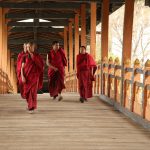
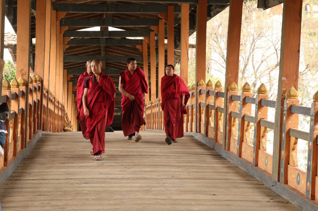
Sightseeing in Thimphu
Drive to Punakha and sightseeing in Punakha
Return to Paro
Early in the morning your guide will accompany you to the Paro International Airport to see you off onto your flight and wish you Tashi Delek (goodbye and good luck).